
03 · Atlas
Period: 1886 Ottoman Empire, Balkans, Straits, Russia, Austria-Hungary Risk: Low
1886 · The Eastern Question
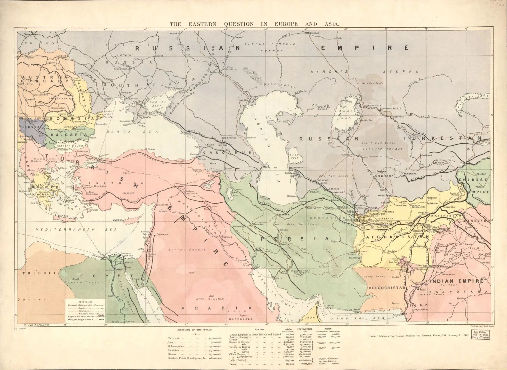
Published by Edward Stanford, this map spatially presents the balance of power known in the late nineteenth century as the “Eastern Question”: the Ottoman Empire, the Balkans, the Straits, Russia, Austria-Hungary, and Britain. It shows that diplomatic disputes were not shaped only in texts, but also through borders, passages, ports, and zones of influence.
The map is not a neutral judge. It is a document produced within the Europe-centered strategic outlook of its period. In the OWS Atlas, its function is not to simplify great-power rivalry, but to show how geography framed diplomatic problems.