
03 · Atlas
Period: 1886 Global maritime routes and imperial territories Risk: Low
1886 · Imperial Maritime Network
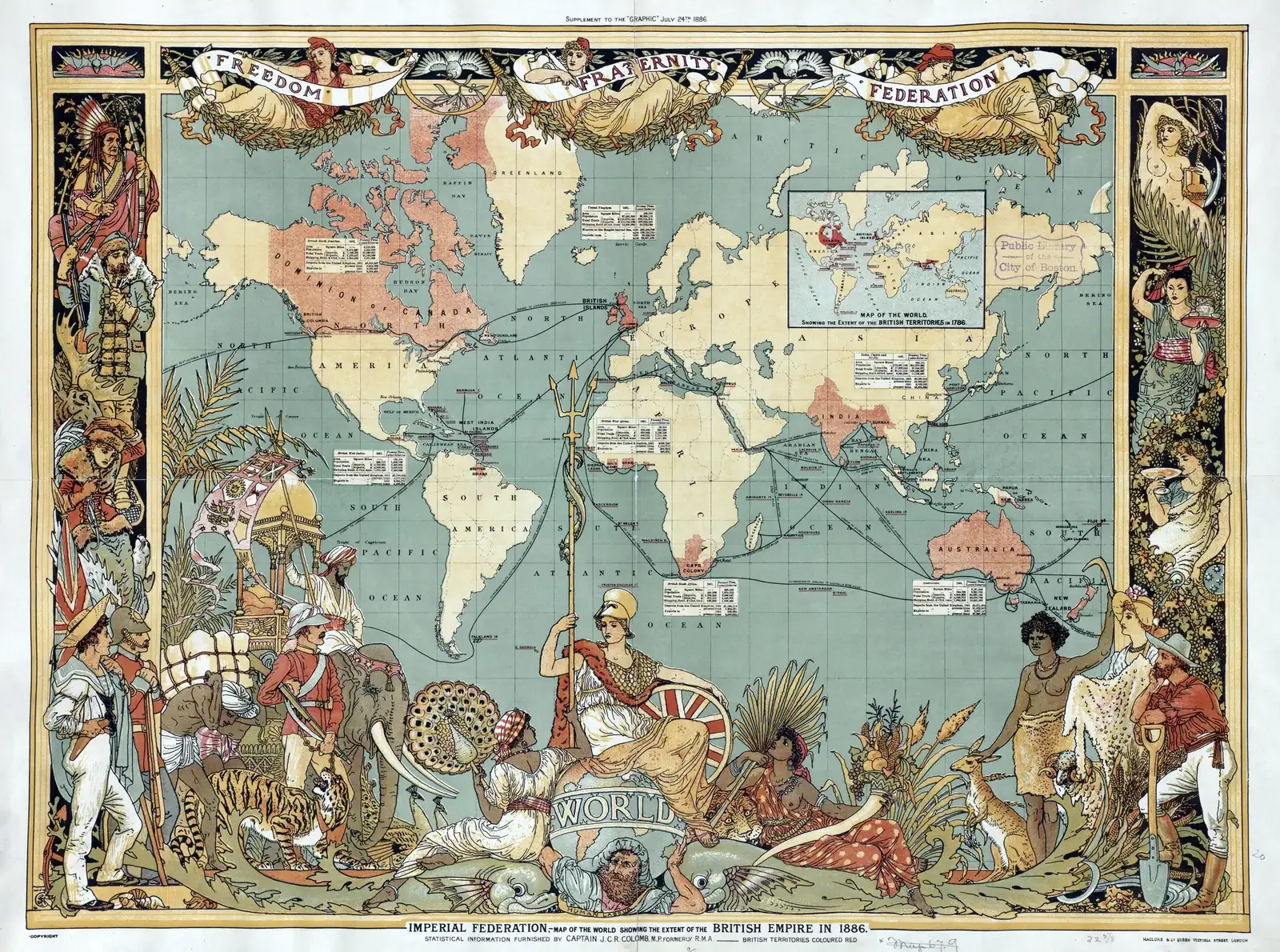
This map is a late Victorian example of cartography showing how the British Empire positioned itself on a global scale in the late nineteenth century. The colored territories, maritime routes, and center–periphery relationships indicate that imperial geography was understood not only through territorial control, but also through trade routes and access to the sea.
The map represents British power through the visual language of its own period. It should therefore not be read as an objective and neutral summary of empire, but as a source-object that reflects the political imagination, geographic priorities, and global order envisioned at the time.