
03 · Atlas
Period: 1885 Afghanistan, British India, Russian Central Asia Risk: Medium
1885 · The Great Game
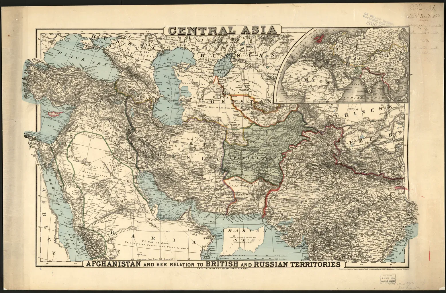
This map shows Afghanistan’s position between British India and Russian Central Asia. In the context of the nineteenth-century “Great Game,” Afghanistan was understood not only through its internal politics, but also through imperial debates over borders, buffer zones, and corridors of movement.
The map allows Afghanistan to be read not as an empty passive space, but as a geography where imperial strategies intersected. The aim here is not to repeat the narrative of one side, but to show how border-making, security concerns, and regional balance were constructed on the map.